Precise Mission Planning: Utilize Map box SDK for detailed route and waypoint planning.
Remote Drone Control: Manage drones remotely to gather environmental data.
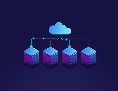
Instant Data Transmission: Real-time data sent to cloud servers for prompt analysis.
Automated Layer Replication: Duplicate layers with preset configurations for consistency.
Effortless Waypoint Generation: Auto-generate waypoints for accurate DJI Drone missions.
Web Application Server: IIS
Enhanced Efficiency: The application streamlines mission planning, execution, and data collection, reducing manual efforts and potential errors.
Real-time Insights: Immediate data transmission provides stakeholders with up-to-the-minute environmental insights, enabling informed decision-making.
Consistency in Data Collection: Automated layer duplication and waypoint generation ensure uniform data collection across missions, improving data accuracy.
Simplified Operations: Remote drone control simplifies operations, allowing users to navigate drones effortlessly for data collection.
Optimized Resource Utilization: Efficient mission planning and real-time data transmission maximize the utilization of drones and resources.
Actionable Intelligence: Real-time data and insights empower quicker responses to environmental changes, aiding in proactive decision-making.
Cost and Time Savings: Automation reduces manual tasks, saving time and minimizing operational costs.
Data Accuracy: Uniform data collection and accurate waypoint generation enhance the quality and reliability of collected information.
Efficient Collaboration: Cloud-based data transmission fosters seamless collaboration among stakeholders, regardless of location.
Improved Planning: Precise mission planning and duplication of configurations allow for more effective long-term environmental monitoring strategies.
User-Friendly Interface: The intuitive interface ensures ease of use, requiring minimal training for effective utilization.